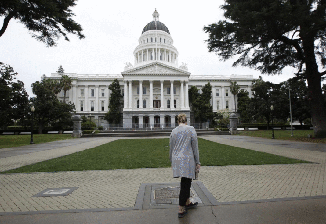

On Los Angeles’s political map, the boundary between two neighboring neighborhoods is far more than just a line on paper. Where that line is drawn directly determines who votes for which candidate, which community earns a shot at electing their representative of choice, and which corners of the city end up grouped into the same district. More on layes.
This process is known as redistricting—the decennial redrawing of electoral district boundaries following the census. Across the United States, redistricting is a vital fixture of the political landscape. The populations of states, counties, and cities are in constant flux: certain neighborhoods boom while others lose residents, demographic and socioeconomic profiles shift, and new hubs of economic activity emerge.
Why Does This Matter for Los Angeles?
At its core, redistricting adjusts district boundaries to reflect updated population figures. In California, it occurs every ten years following the federal decennial census. The underlying principle is straightforward: districts must contain substantially equal populations so that every vote carries equal weight. This “one person, one vote” doctrine serves as a cornerstone of the modern American redistricting system.
For Los Angeles, population balance is especially complex. Both the city and the county encompass vast, varied neighborhoods with distinct histories, cultural identities, economic bases, and social fabrics. Densely populated urban centers stand alongside sprawling suburbs, renter-heavy corridors, industrial zones, historic ethnic enclaves, and neighborhoods on opposite ends of the income spectrum. As a result, redistricting in Los Angeles goes well beyond simple number-crunching. The electoral map dictates which communities end up grouped together—and, by extension, which issues they can advocate for collectively before an elected official.
How Was It Done Before?
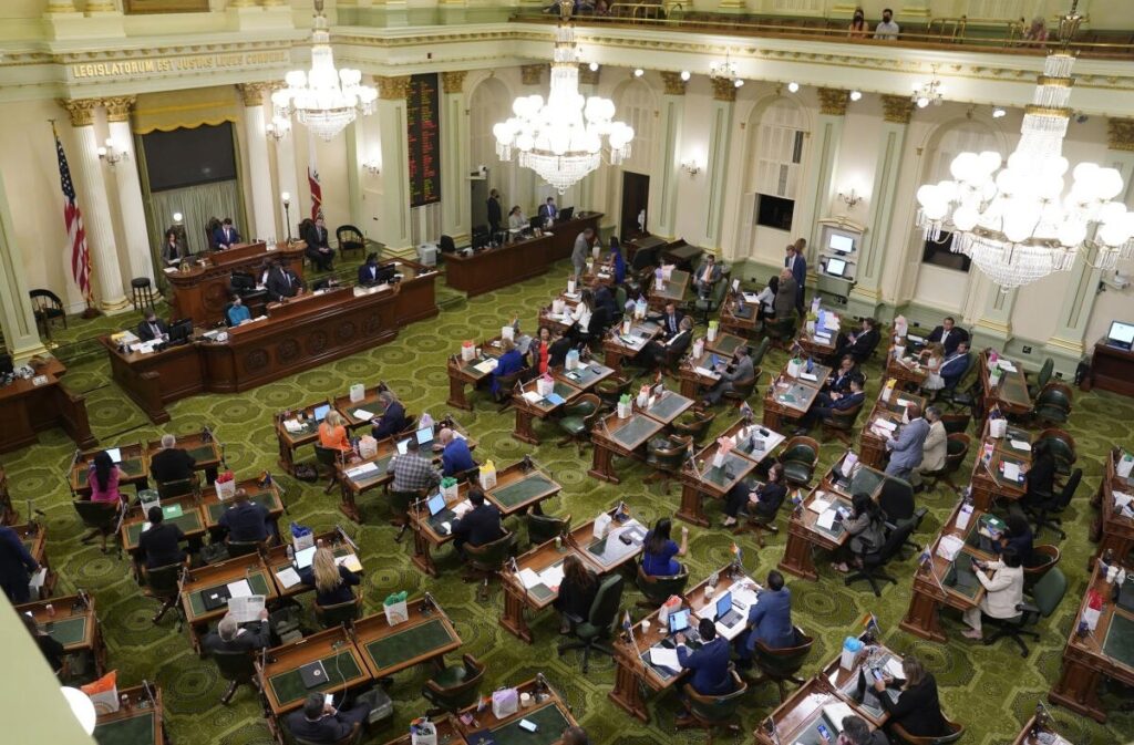
California’s current redistricting framework did not emerge in a vacuum. Prior to the 2008 reform, California state lawmakers played the lead role in drafting district boundaries. In practice, politicians drew the very lines that determined their own political survival. Over the decades, this setup sparked fierce controversy over gerrymandering—the manipulation of district borders to secure partisan advantage. California history saw repeated deadlocks where lawmakers and the governor could not agree on a new plan. In such standoffs, the California Supreme Court stepped in, appointing special masters to draw nonpartisan maps.
Following the 1990 census, the California Supreme Court stepped in to appoint special masters. In 2000, however, both parties struck an incumbent-protection deal that effectively locked in the status quo, cementing a large number of districts where one party held a safe, commanding advantage.
The turning point came in 2008 when California voters passed Proposition 11, known as the Voters FIRST Act. The initiative established the independent Citizens Redistricting Commission. Its mandate: draw the district boundaries for the California State Assembly, the State Senate, and the Board of Equalization. The commission is made up of 14 citizens—five Democrats, five Republicans, and four members unaffiliated with either major party. Crucially, politicians do not appoint commissioners. Instead, a rigorous, multi-tiered screening process led by the State Auditor vets applicants; part of the panel is chosen by random draw, and those initial commissioners select the remaining members.
Proposition 11 did not originally empower the commission to draw U.S. House of Representatives districts. Voters closed that loophole in 2010 by approving Proposition 20, granting the Citizens Redistricting Commission the authority to configure California’s congressional map as well. This shift was monumental for Los Angeles, given the county’s outsized federal representation. Congressional lines ultimately decide which neighborhoods send which representative to Capitol Hill.

What Rules Govern Redistricting?
The California model sets strict, transparent guidelines for the Citizens Redistricting Commission. First and foremost, districts must be roughly equal in population. They must also strictly comply with the federal Voting Rights Act, safeguarding the ability of racial and language minorities to elect candidates of their choice.
Districts must be geographically contiguous—every part of a district must connect to the rest. The commission is also mandated to minimize the division of cities, counties, neighborhoods, and communities of interest wherever practical. Geographic compactness is another key standard. Above all, the process carries a vital prohibition: commissioners are barred from drawing maps to favor or discriminate against any political party, candidate, or incumbent.
An incumbent’s home address cannot be considered when setting district boundaries. This is one of the starkest departures from the old system, where self-preservation for sitting lawmakers routinely dictated the lines.
The Decennial Census
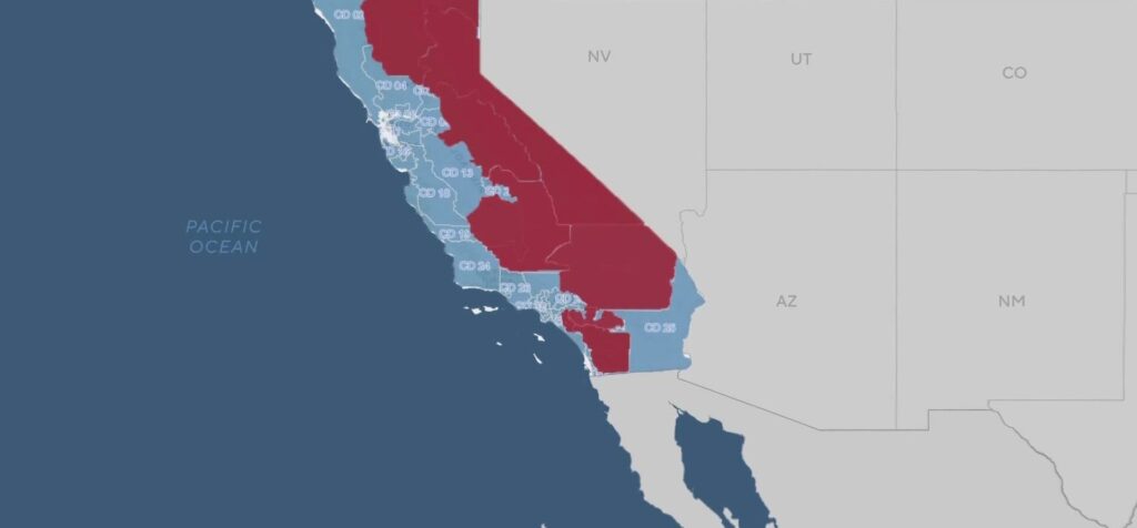
Everything starts with the U.S. Census. Conducted every ten years, the census counts how many people live in each state and maps out where they reside. When the count finishes, it reshapes not just data sheets, but the entire political landscape. Following the 2020 census, California lost a seat in the U.S. House of Representatives for the first time in its history. That loss meant redrawing the state’s population across fewer federal districts. For Los Angeles, this was a clear wake-up call: even the largest, most influential urban centers are not immune to statewide demographic trends. People move, some regions grow faster than others, and the political map must adapt accordingly.
What Changed After the First Independent Redistricting?
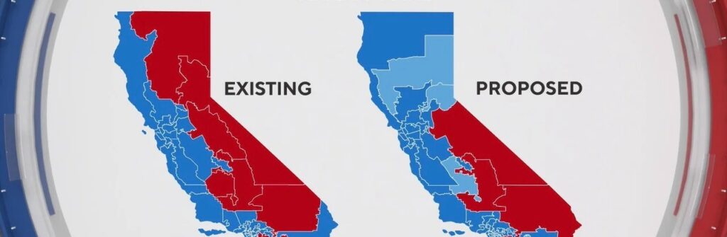
The inaugural cycle of the Citizens Redistricting Commission after the 2010 census served as a litmus test for the new model. The commission held dozens of public hearings, gathered input from everyday citizens, and produced boundary maps completely free from legislative interference for the first time. Building on that successful rollout, the independent framework continued into the 2020s cycle.
At first glance, redistricting seems like a geography exercise. In practice, however, it is an intricate intersection of statistics, constitutional law, demography, history, sociology, and politics. Mapmakers must balance population numbers, uphold the Voting Rights Act, and avoid splitting communities of interest or carving up municipalities. Districts must be contiguous and compact, drawn without deference to incumbent politicians, yet functional enough to last a decade. Balancing all of these factors turns redistricting into a distinct political art. A line that looks completely neutral on a screen can dictate real-world outcomes and decide who votes for whom. In a healthy democracy, the ballot count is only part of the story; just as critical is how we draw the playing field where those elections unfold.